An Interactive Map of Light Pollution
An Interactive Map of Light Pollution
djlorenz.github.io
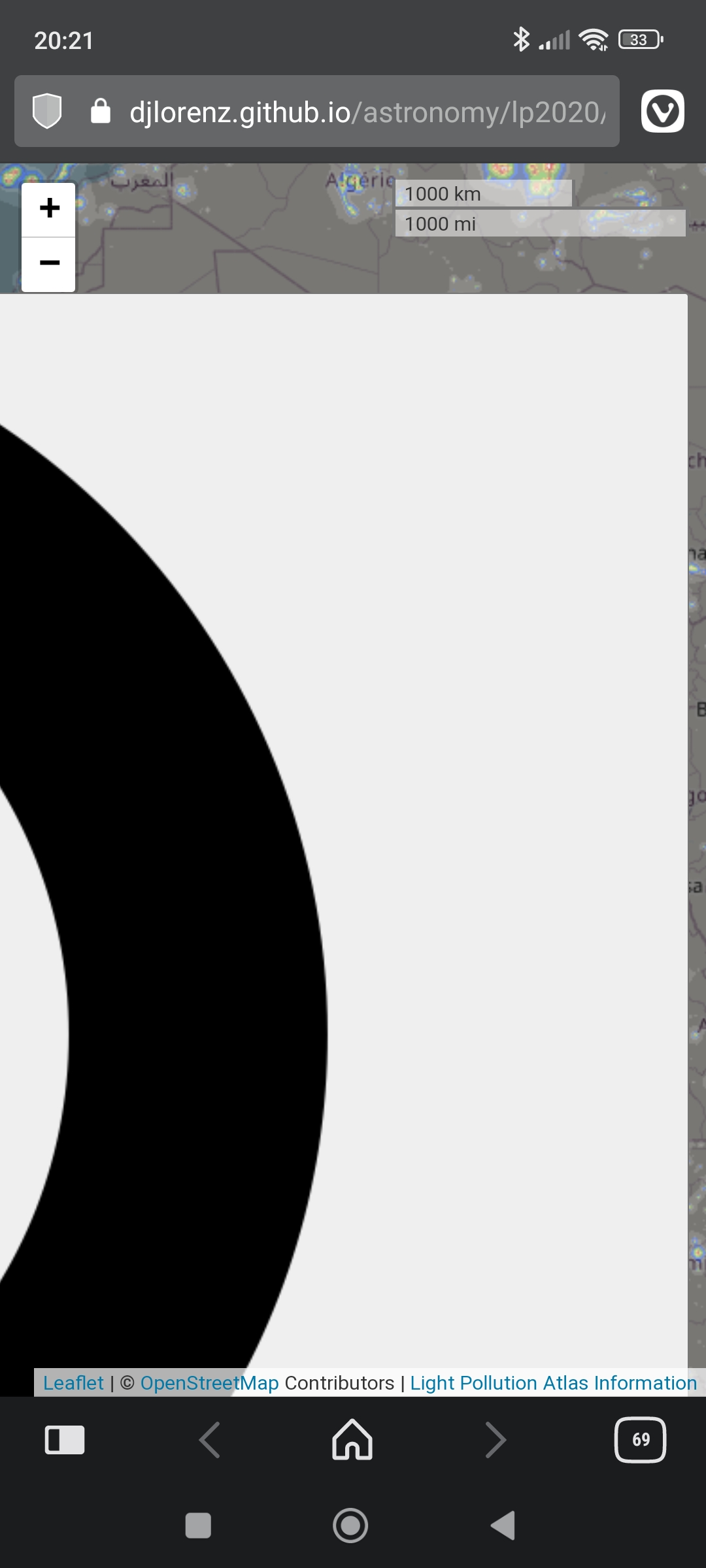
Light Pollution Atlas 2006, 2016 and 2020
In case you you want to prepare yourself for the upcoming comet "Nishimura" or other celestial events 🌝
An Interactive Map of Light Pollution
Light Pollution Atlas 2006, 2016 and 2020
In case you you want to prepare yourself for the upcoming comet "Nishimura" or other celestial events 🌝
I wanted to add this map as an overlay map in Osmand to find good camping spots for night sky viewing. I have the USGS land management data as an overlay, and wanted both. Never got around to it, but now maybe I will. I see there's an OSM version of this map, I wonder if I could just download it and load it in?
I haven't worked with OSM data before, but you can take a look at the source of the website.